Current Information
- Home & News
- Current Conditions
- Industrial Fire Precaution Levels (IFPL)
- Incident Information
- Fire Restrictions
- Prescribed Fire
- Interagency Training
- Media Information
- Recruitment Information
- Aviation
- Protection Maps
- BMIDC Fire Maps
- ODF Fire Maps
- Recon/Aerial Detection Flights
- Crews
- Overhead / Teams
- Equipment/Supplies
- Radio/Communications
- Publications
- Forms
- Visitor Info
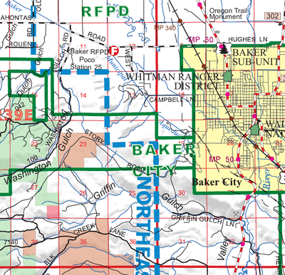
ODF Northeast Oregon District Fire Maps
 Maps provided courtesy of Oregon Department of Forestry.
- Baker East
- Baker West
- LaGrande North
- LaGrande South
- Pendleton North
- Pendleton South
- Pendleton Unit
- Wallowa North
- Wallowa South
- Wallowa Dispatch
State-wide ODF Protection Maps
Graphical IndexText Index


